Satara District Map
View Satara District in a larger map

View Satara District in a larger map
DAHIWADI – Dahiwadi is situated 25km away from Satara . It’s an important taluka of Satara where all the government offices are located. Manganga river flows though Dahiwadi. Siddanath is the presiding deity of this place. A beautiful temple is…
Jawali is famous for its Forests Satara Maharashtra India. Major part of Jawali is covered with dense forest. One can find rich climate weather in Jawali. Natives stay in dense forest of Jawali. Many people from Jawali migrate to Mumbai…
One of the most important market is situated in Lonand which is 50km from Satara Maharashtra. 20km from this market is a beautiful lake called as “Vir”. This place is famous for migratory birds. Many bird lovers visit this place…
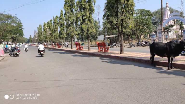
Koregaon is situated in the heart of Satara Maharashtra. South koregaon is famous for its fertile land as river Krishna flows through south, but north Koregaon is a drought prone area. Koregaon is situated on the banks of river Krishna.…
Aundh has situated 30 km to the south. West direction of Vadooz. There is a Duplex mansion that is built as per Maratha Architecture. There is Goddess Yamai’s temple west facing to the north side of the temple four ‘Dipmalas’…
Phaltan is situated on the Solapur – Satara border. The major part is dry. The canal across river Nira has provided a boon to 1/3 land in Phaltan. Nira river originates on the hills of Sitamai. River Banganga also flows…
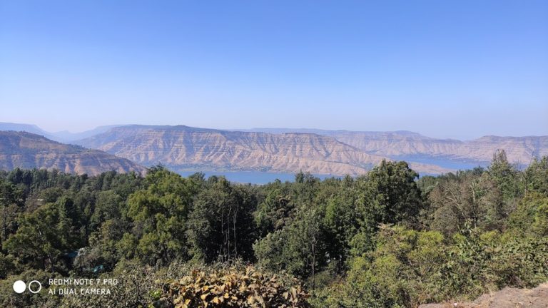
In Mahabaleshwar we can always enjoy fresh & lush green nature. Colorful flowers and cotton cluster. which is very beautiful & attractive. It is around 65 kms from Satara. Panchgani & Mahabaleshwar are famous in the world for tourism. City…